Our services
The technical team behind better land decisions
Surveying, planning and civil-engineering expertise coordinated within one local practice.
One coordinated practice
Support from first question to final title
Engage us for a single survey or for the complete development process. We will tell you what is needed, what is not, and where specialist input will add value.
 01
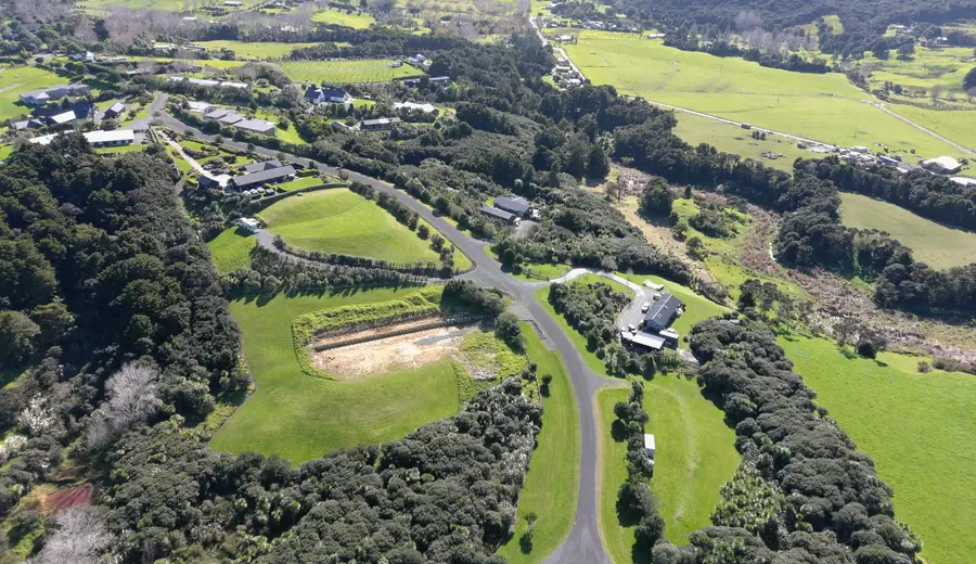
01Subdivision and Development
Feasibility advice, scheme planning, resource consent, engineering, construction coordination, cadastral surveying and title completion.
 02
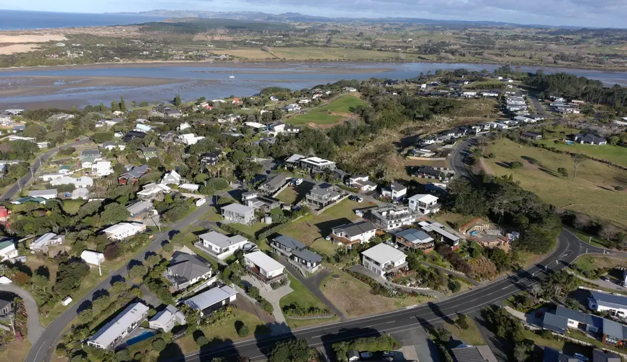
02Resource Consents and Planning
Subdivision and land-use consent applications, assessments, section 92 responses, technical coordination and Council liaison grounded in local experience.
 03
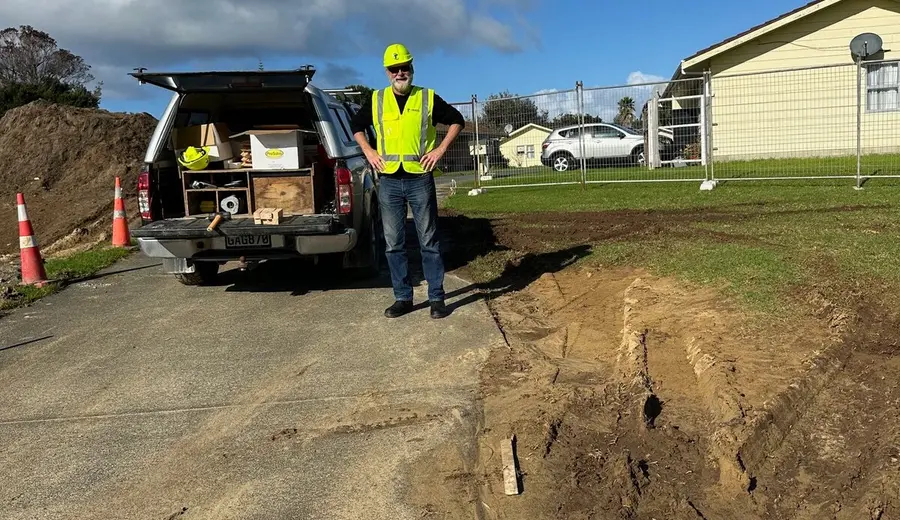
03Civil Engineering and Construction
Detailed civil engineering design, construction drawings, supervision, contract administration, as-built surveying and completion certification for subdivisions and site development.
 04
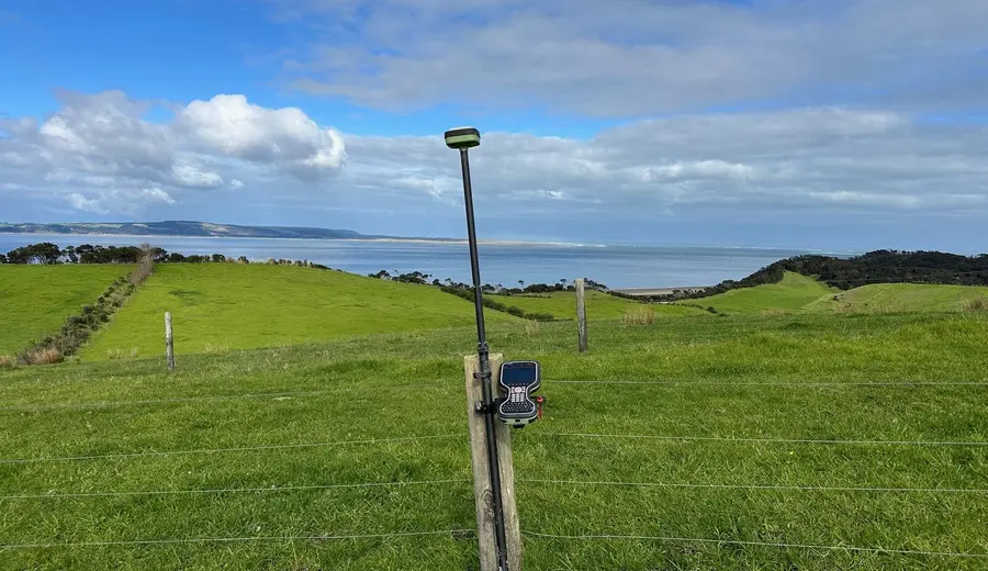
04Boundary and Cadastral Surveying
Clear advice on boundaries, titles, easements, fencing issues, boundary adjustments and Land Transfer surveys.
 05
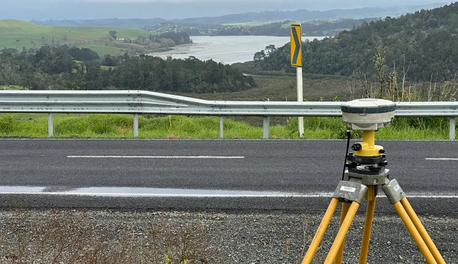
05Topographic and Site Surveying
Accurate levels, contours, site features, services, set-out, certification, as-builts and volume surveys.
 06
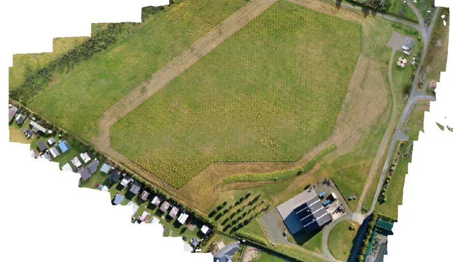
06Drone Surveys
Drone-based aerial surveying for large or difficult sites, producing orthophotos, terrain information, contours and practical site data to support planning, design and construction.
Start with a conversation
Considering subdividing, building or purchasing land?
Talk to us before making an expensive land decision.